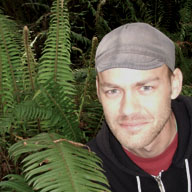
James Arnold
James finished his Master's thesis on "Modeling fire-climate connections within the Great Basin and Upper Colorado River Basin, Western United States" in spring 2013. James is now working at Los Alamos National Laboratory.
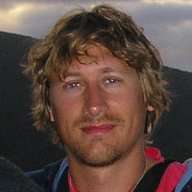
Chris Balzotti
Chris completed his Ph.D. on sage grouse habitat analysis in 2014. His dissertation was titled "Exploring the use of fine resolution nested ecological niche models to identify greater sage-grouse (Centrocercus urophasianus) habitat and connectivity potential across a diverse landscape." Following a postdoc at Stanford, he is currently a Natural Resource Manager for The Nature Conservancy.
Mark Beaty
Mark completed his Master's thesis on "An examination of a pixel replacement algorithm for monitoring post-fire chaparral recovery using indices derived from AVIRIS data" in 2010. He works for Utah County as a GIS Systems Analyst.
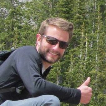 Mickey Campbell
Mickey completed his PhD in 2018, with a dissertation titled "Remote Sensing and Geospatial Modeling of Wildland Firefighter Safety". Mickey is now a Research Assistant Professor at the University of Utah
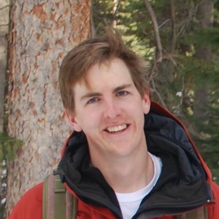
Austin Coates
Austin first started as an undergraduate researcher in URSA in 2010. After working for an NGA contractor and Exelis Visual Information Solutions, he came back to the U for his Master's degree. Austin completed his thesis on "Hyperspectral remote sensing for monitoring species-specific drought impacts In Southern California" in fall 2015. He currently works as a Sales Engineering Manager for Harris Geospatial Solutions.
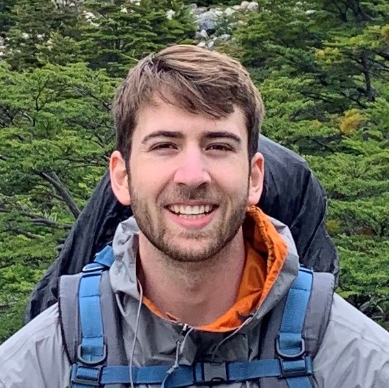 Bailey Costello
Bailey finished his Master's thesis on "Modeling socioeconomics in urban areas using hyperspectral remote sensing" in 2022. He is now a project manager for AeroGraphics in Salt Lake City.
Kenneth Dudley
Kenneth completed his Master's thesis on "Mapping species across multiple dates of hyperspectral imagery using iterative endmember selection and multiple endmember spectral mixture analysis" in 2014. He is now at the Okinawa Institute of Science and Technology.

Jessie Eastburn
Jessie completed her Master's thesis on "Tranferability of airborne lidar-driven aboveground biomass models in piñon-juniper woodlands" in 2023. She is currently a research associate at Colorado State University.
Greg Fryer
Greg finished his Master's in spring 2012, completing a thesis titled "Wildland firefighter entrapment avoidance: developing evacuation trigger points utilizing the WUIVAC fire spread model." Greg is now firefighter Captain at Fort Hunter Liggett in California.
 Luis Garcia
Luis completed his Master's in 2021, writing his thesis on "Examining fire radiative power (FRP) retrievals using shortwave and mid-infrared radiance from FIREX-AQ." Luis is a GIS Analyst at Southern California Edison.

Scott Graves
Scott completed his Master's thesis on "Examining vegetation phenology of Ugandan dambos using spectral mixture modeling fractions" in 2008. Scott (better known as Drew to everyone outside the Geography department) now works for L3Harris Corporation and lives in Florida.
Matt Hansen
Matt completed his Master's thesis on "Decision tree classification of dambo wetlands using remotely sensed multispectral and topographic data" in 2008. He is Director, Multifamily at PEG Development in Provo
 Alex Heeren
Alex completed his Master's thesis on "Modeling factors associated with wildland firefighter assessment of structure defensibility" in summer 2023. He is a Spatial Analyst and Decision Support Specialist at the Colorado Forest Restoration Institute at Colorado State University.
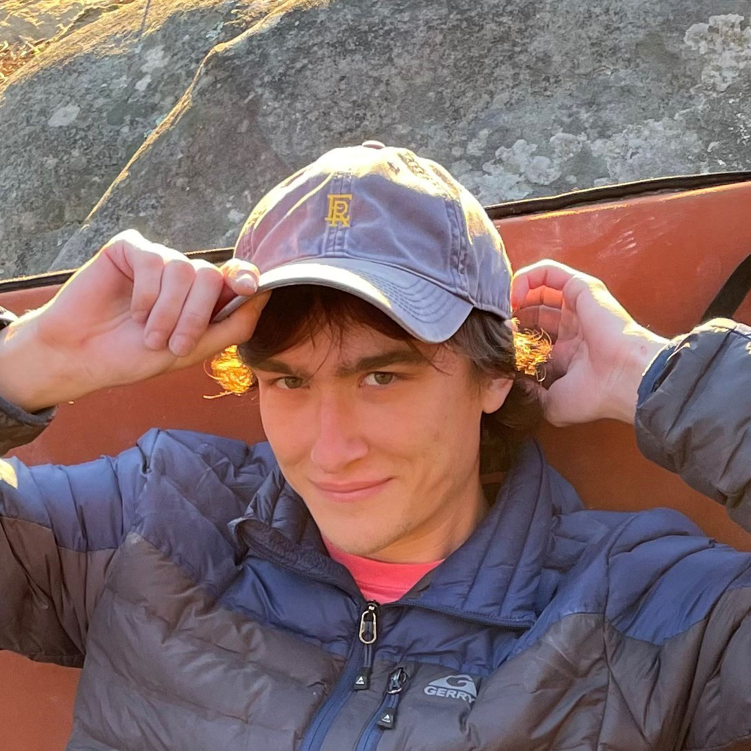 Jack Jones
Jack finished his Master's in 2025, with the thesis "Comparing the abilities of traditional airborne and UAS lidar for mapping understory vegetation density across temperate forest types". He is a Geospatial Scientist at Haley and Aldrich.

Jeremy Larsen
Jeremy completed his Master's thesis on "Analysis of wildfire evacuation trigger buffer modeling from the 2003 Cedar Fire, California" in 2010. He is currently a GIS Consultant for Natural Resources.
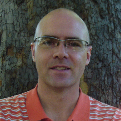 Brent Lloyd
Brent completed his dissertation on "Evaluating health and farming methods in Burkina Faso" in 2019. He is currently a GIS Analyst for the Nez Perce tribe in Idaho.
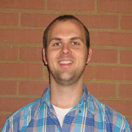
Scott Matheson
Scott completed his Master's thesis on "Evaluating the effects of spatial resolution on hyperspectral fire detection and temperature retrieval" in June, 2011. Scott now works at the National Geospatial Intelligence Agency.
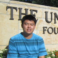
Ran Meng
Ran completed his Ph.D. on remote sensing vegetation recovery after wildfire and tamarisk beetle disturbance in 2015. His dissertation was titled "Study of two vegetation-related disturbances (beetle herbivory and wildfire) in the Western United States using optical remote sensing." He is a Professor at Harbin Institute of Technology.
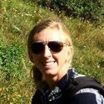 Sandra Miller
Sandy completed her Master's thesis on "Spatial modeling of wildland fire ignition potential in Utah" in 2019. She now works at the National Geospatial Intelligence Agency.
 Katherine Mistick
Katherine completed her Master's thesis on "Mapping fire and firefighter visibility for improving situational awareness" in 2022. She is currently a research associate in URSA Lab at the University of Utah.
Kelly O'Neill
Kelly finished his Master's thesis, "Convolutional neural networks for detection of point source methane plumes in airborne imaging spectrometer data," in 2022. He works as a Research Analyst at Carbon Mapper.
Ashley Powell
Ashely finished her Master's thesis, "Understanding the relationships between fire, climate, and population in Central Uganda from 1990-2010" in Fall 2012. Ashely is currently a Geoscience Tech at SM Energy in Denver.

Yi Qi
Yi finished his dissertation on "New physical foundations for remote sensing estimation of live fuel moisture content and fire danger" in 2014. He is now an Assistant Professor at University of Southern California.
 Obaidur Rahman
Obaidur graduated with his Master's in 2025, with his thesis on "Upscaling airborne lidar-based estimates of understory vegetation density using machine learning to enable broad-scale mapping". He is currently a PhD student in the Department of Geography at Oklahoma State University
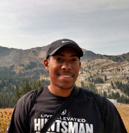 Josh Reynolds
Josh graduated with his Master's in 2017, with a thesis titled "Comparing urban vegetation cover with summer land surface temperature in the Salt Lake Valley". He is currently a Modeler at Wasatch Front Regional Council.
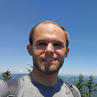 Troy Saltiel
Troy completed his Master's thesis, "Deep learning semantic segmentation of wetland vegetation with UAS-acquired imagery at various spatial resolutions," in 2021. Troy is a Geospatial & Imagery Analyst at Pacific Northwest National Laboratory.
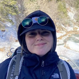 Allison Smith
Allison completed her Master's thesis, "Incorporating visibility metrics into least cost path analysis to optimize situational awareness for wildland firefighter escape routes," in 2024. She is a Geographic Information Systems Analyst for Utah Division of Forestry Fire and State Lands.
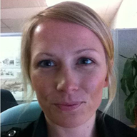
Abigail Schaaf
Abi completed her Master's thesis on "Using hyperspectral data to classify vegetation at the plant functional type-level in mountain terrain at three spatial resolutions" in 2010. Abi now works as a Remote Sensing Project Manager for Redcastle Resources at the Forest Service Geospatial Technology and Applications Center.
 Erika Wenrich
Erika completed her Master's in 2018 with a thesis titled "Quantifying drought-induced changes in green vegetation fraction and classification accuracy using hyperspectral data for the central Sierra Nevada, California". Erika is currently a GIS Analyst at OneMap Mineral Services in Houston.