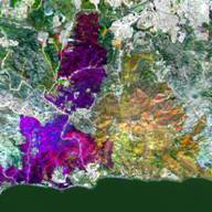
Vegetation Remote Sensing
We use a variety of remote sensing tools to map vegetation, retrieve biophysical properties, and investigate disturbance. We are developing new methods for mapping non-photosynthetic vegetation, an indicator of drought stress and fire danger, which are being used to develop capabilities for future Landsat and hyperspectral satellite missions. We are also using lidar, hyperspectral, multispectral, and drone data to examine how ecosystems are impacted by disturbances like drought, insect outbreaks, and fire.
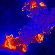
Remote Sensing of Fuels and Fires
Our lab has had a long history of developing remote sensing methods to estimate fuel properties, examining links between climate and fire, and investigating vegetation recovery following fire and its links to climate. We are currently investigating mapping of fuel consumption by comparing pre- and post-fire lidar datasets, and using hyperspectral remote sensing to improve estimation of active fire properties like fire temperature, smoldering vs. flaming combustion, and area of fire within a pixel.
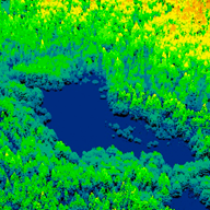
Fire and Firefighter Safety
We develop methods that use remote sensing and GIS to improve wildland fire and firefighter safety. Safety zones protect wildland firefighters from dangerous heat exposure, reducing firefighter injuries and fatalities. Escape routes provide firefighters with a path to reach safety zones. Structure triage is used to determine which buildings should be prioritized for protection. Lidar and geospatial modeling can be used to map safety zone suitability, estimate escape routes, and predict triage categories.