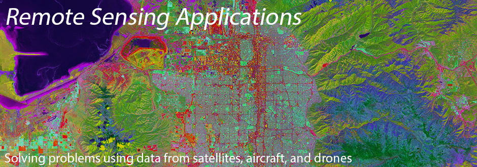


Remote Sensing at the University of Utah
The Utah Remote Sensing Applications (URSA) Lab uses remote sensing data acquired from satellites, aircraft, and drones to explore applications solving real-world problems. We use data from a variety of different sensors, including hyperspectral, lidar, multispectral, and thermal infrared, to measure and map the Earth’s surface. We combine remote sensing with GIS to provide powerful tools to monitor changes in vegetation caused by drought and disturbance, map fuel and fire properties, and assess wildland fire and firefighter safety. For more details on our current work, see Projects.
The URSA Lab is affiliated with the School of Environment, Society & Sustainability at the University of Utah.